|
ENTS,
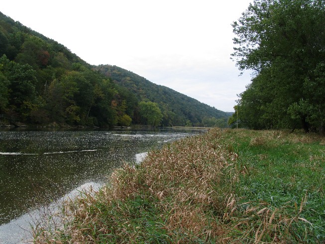
On 10/8/08, Carl Harting & I embarked on a short canoe float on
the Allegheny River from the Tionesta RT36/62 Bridge, downstream
to Hunter at the RT62 Bridge, a distance of 3.2 miles. The
mission for the day was to explore the Refugee Islands, a series
of 13 islands of varying size, in hopes of finding new big/tall
tree records. I call them the Refugee Islands, because there is
a historical marker on RT62 due west of their river location
that reads:
"Refugee Towns
This part of the Allegheny was allotted to Munsee and othe
displaced Indians by the Seneca before 1750. IN 1767-70
Zeisberger worked among these refugee groups, then occupying
three towns along the river here."
David Zeisberger was a Moravian missionary to the Indians during
Pontiac's Rebellion and the Revolutionary War periods:
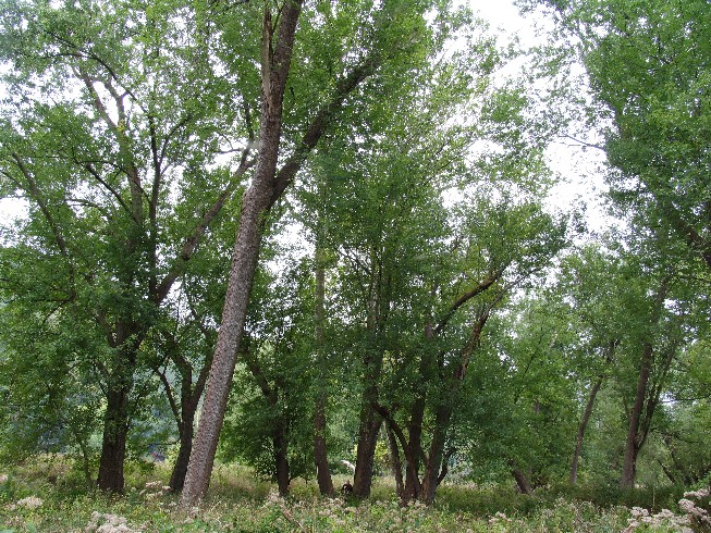
Most of the islands were fairly small in nature, and could be
easily surveyed for exceptional trees without leaving the
canoe. We decided to hit the biggest as time allowed. The
first island we stopped on, "Refugee Island 1" was the largest
at 45 acres. The top end of this island is visible from the
RT36/62 Bridge in Tionesta. It wasn't long before we found some
decent sized sycamore and tallish silver maples. The tallest
trees were on the upstream end of the island. It didn't appear
that the downstream end was going to be any better from our
vantage point, so we decided to move on. The island in general
was fairly open with very little closed canopy. Stats follow:
Refugee Island 1
Species CBH Height Comments
black willow 7.7 80.5
butternut 3.4 37.5
silver maple 9.4 97.6
silver maple 13.7 101.4 41 28.776N x
79 27.845W
silver maple 8.3 108.1+
silver maple N/A 110.1
silver maple 9 117.3
silver maple 9 118.7 41 28.767N x 79 27.879W
sycamore 12.8 112.6 41 28.953N x
79 27.605W
sycamore 10.7 120.9
sycamore 13.8 127.1 41 28.964N x 79 27.631W
sycamore 10.7 127.6
white ash 5.1 75.1+
Species observed but not measured = Vitus sp.
Invasive species = Japanese barberry, Japanese knotweed
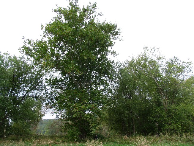
We hopped back in the canoe and headed down the east side of the
island and stopped at the next largest island, 'Refugee Island
2', at 31 acres. This island had much more closed canopy. Carl
took off down the center and reconned a good bit of the island
taking in some measurements as well. Me, well, I got stuck
measuring one tallish silver maple. It took the majority of my
time trying to get a good shot and photo. Why a photo you may
ask, well, turned out to be a new NE height champ at 6.4ft CBH x
121.9ft high! Then it started to rain... and didn't stop the
rest of the day. It's a good thing it was a "warm" rain,
because we had a good bit to go before we'd feel heat again from
the car. Another highlight was finding another 140ft class
sycamore on the island. Stats follow:
Refugee Island 2
Species CBH Height Comments
bitternut hickory 6.9 85.4
common hackberry 8.1 86
silver maple 16.3(2x) 81.1+
silver maple 10.3 117.3
silver maple 6.4 121.9 NE
height record 41 28.575N x 79 28.069W
sycamore 15.7 91.2
sycamore 6.8 109.9
sycamore 8.3 119.3
sycamore 8.8 119.8
sycamore 7.9 123.1+
sycamore 6.2 132.1+
sycamore 10.3 142.1 41
28.460N x 79 28.247W
white ash 6.9 101.9
white ash 8.8 101.9
white ash 9.7 106.6
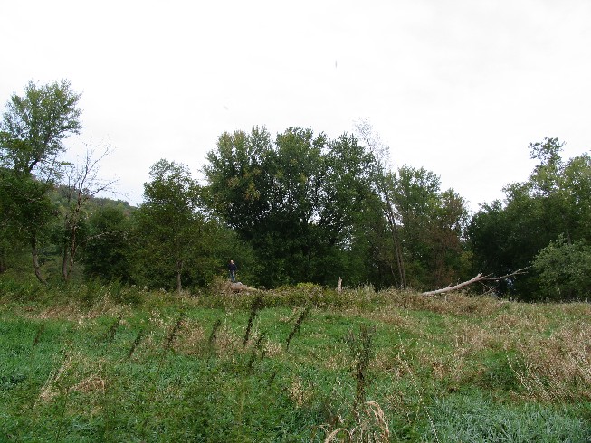
By the time we finished with Refugee Island 2, the rain was
coming down in buckets. We cruized past the smaller islands.
None of them appeared to have anything worth getting out of the
canoes in a steady downpoor. Another place I wanted to check
out though by canoe was where Little Tionesta Creek came into
the island complex from the south. I was hoping there might be
something worth documenting in this flat. Problem was we
couldn't get close enough via canoe, since the channel became
too shallow via mud and choked with logs behind the island we
needed to skirt. After being drenched for the previous 2hrs,
and viewing what crowns we could see from a distance, we decided
that it wouldn't be worth the effort to conduct a thorough "mud
run" into the area. So, we continued down to the RT62 Bridge,
pulled out at the golf course property, and portaged the next
300 yards to the vehicle. This is NOT a designated canoe access
point. It's private property, and we had to secure prior
permission to use it.
Eventhough the day turned out to be a soaker. It was still
productive along the 'Belle Riviere'.
Dale
Continued at:
http://groups.google.com/group/entstrees/browse_thread/thread/8137d40ac00fc4ca?hl=en
|