|
ENTS,
I have posted about this place before. Generally the place was quite
similar to Batsto Furnace and others in the Pine Barrens. There was
a bog iron furnace, and then when the bog iron industry failed in
the 1840s, other things were tried, such as paper and glass.
Weymouth tried paper after iron. Weymouth is a ghost town with a few
modern houses in it. Most of the old village is forest now. And much
of the forest contains non-native trees, such as Norway Spruce,
European Larch, Eastern Hemlock (one tree), Buttonwoods, etc. This I
have mentioned before.
I hiked the trail into the John's Woods Preserve (N.J. Natural Lands
Trust) to see how the Hemlock is doing. The foliage up at the top is
very sparse, yet the tree's offspring below appear quite healthy and
HWA-free. I can't explain that. The European Larches and the Bald
Cypresses seem fine, which I expected. This "John's Woods Preserve"
is across the road from the Weymouth Furnace County Park. The county
park contains the ruins of both paper mills that existed after the
iron furnace shut down.
Anyway, back in John's Woods- There are two trees that I always
assumed were maples. It turns out that only one of them is a maple.
The other is a linden. Both trees appear to be formerly open-grown.
While there I discovered a large forest-grown Sassafras. I've been
in there a zillion times, but never saw this tree before.
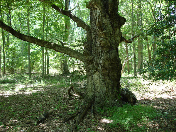
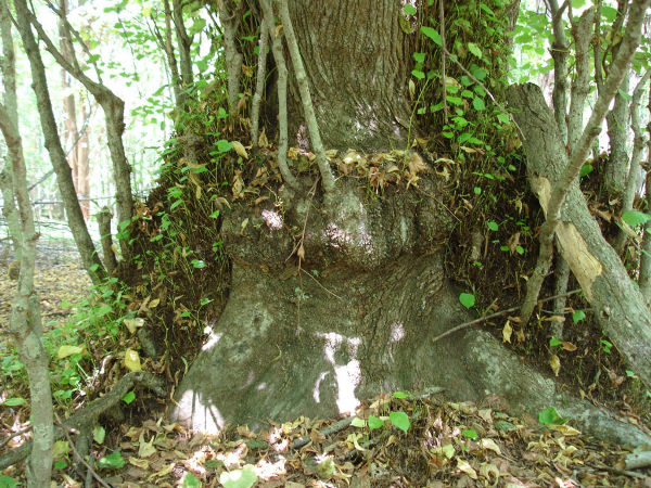
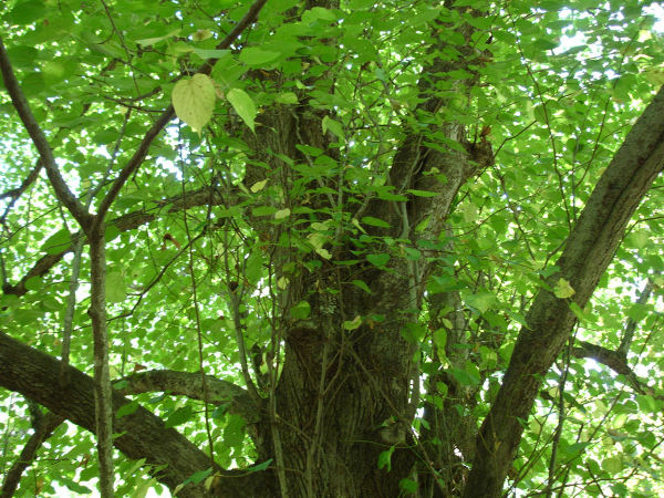
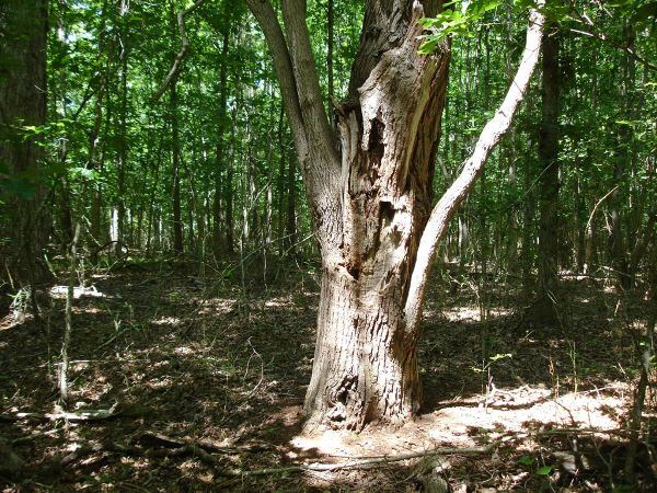
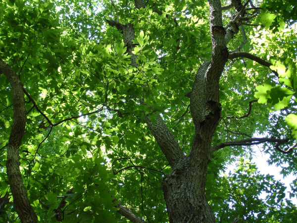
I've attached pictures of the maple, the linden and the sassafras.
In numerical order of the filenames, there are 2 pictures of the
maple, 3 of the linden and 4 of the sassafras. Notice that in one
spot you can see completely through the sassafras tree.
Anyway, I hope you enjoy the photos. I did not measure these trees.
But this place will be one stop on our NJ Pine Barrens tour.
Barry
Here's more: I forgot to
mention that my hike was on Sunday, July 19. And here's a map:
http://www.bing.com/maps/default.aspx?v=2&FORM=LMLTCC&cp=39.519101~-7...
You can zoom out, or switch to Bird's-eye view, and so on, to see
the surrounding forest. This is all south, or southwest, of the
Makepeace Lake Wildlife Management Area (NJ Fish & Game). That
covers 11,139.51 acres.
Barry
Continued
at:
http://groups.google.com/group/entstrees/browse_thread/thread/c8746db65a5a362f?hl=en#
|